

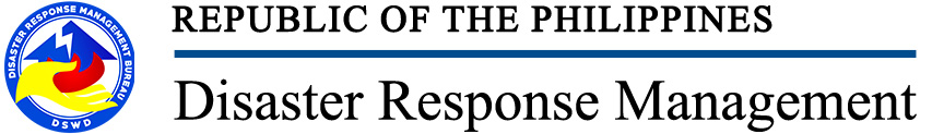
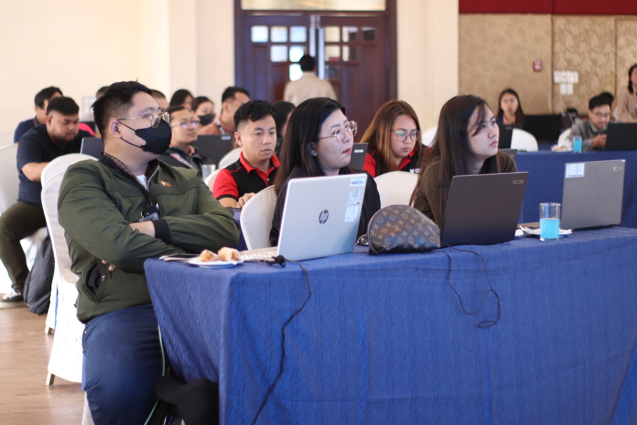
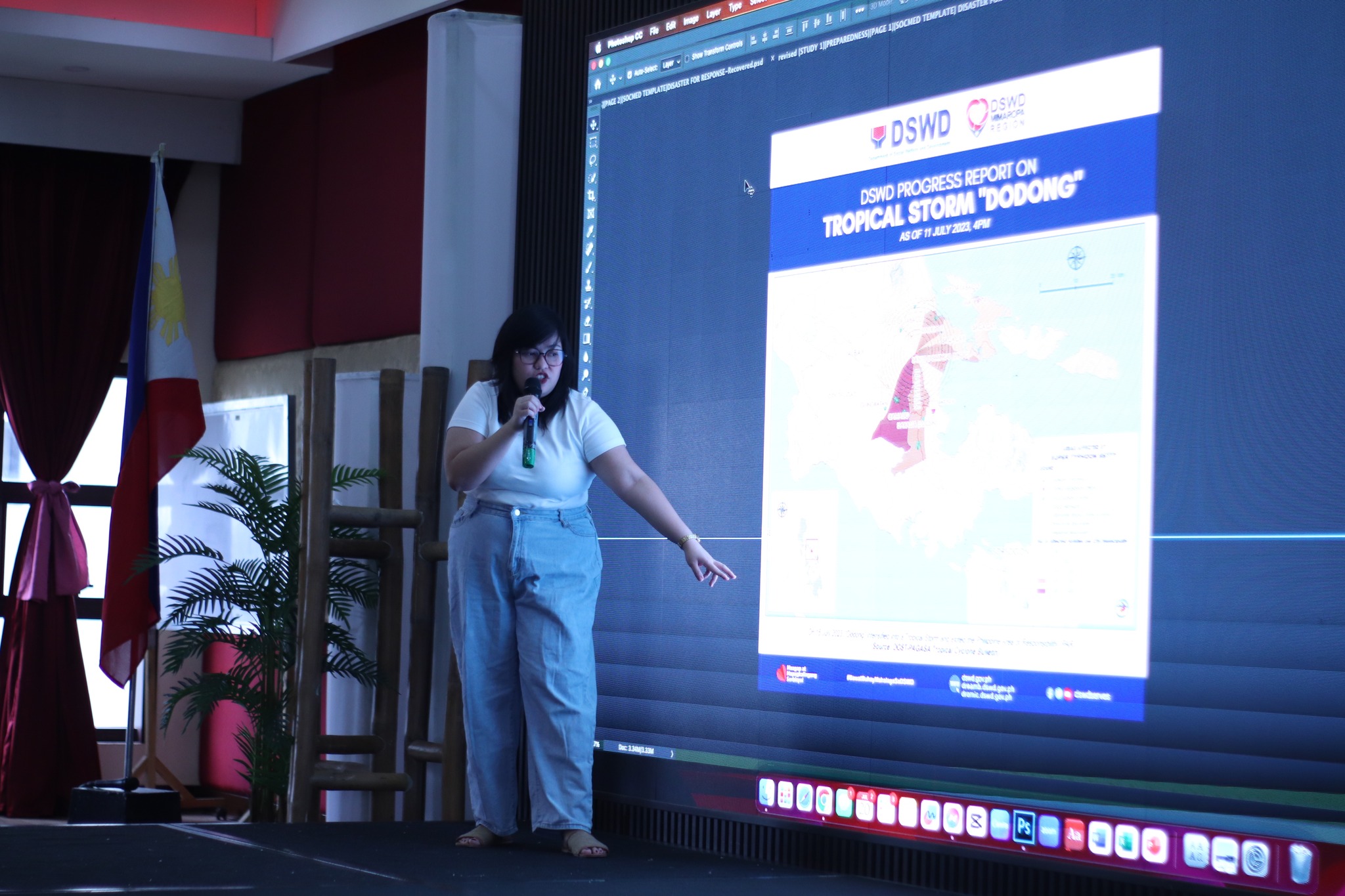
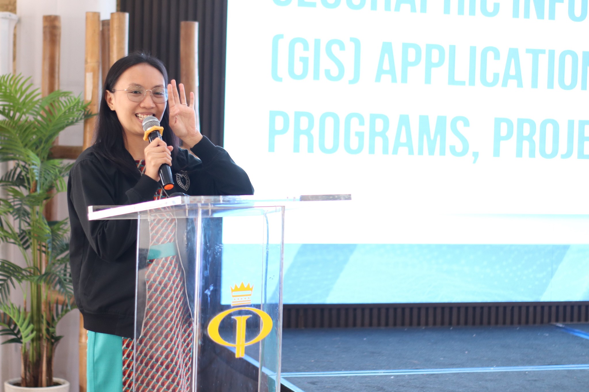
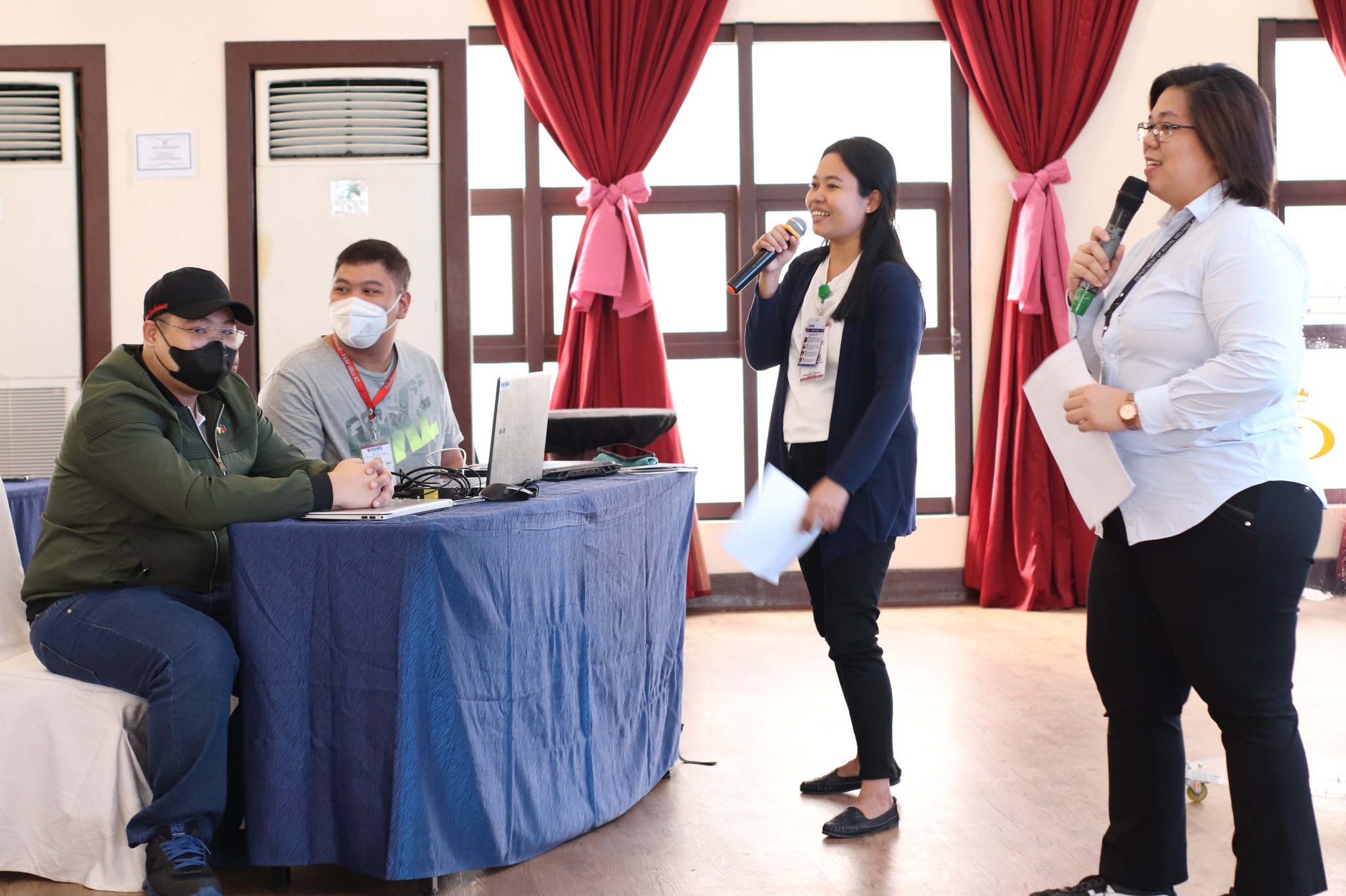
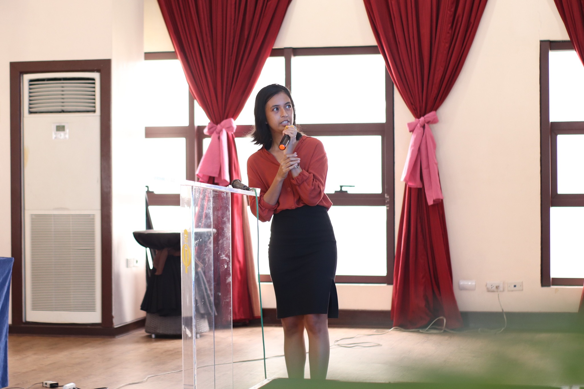
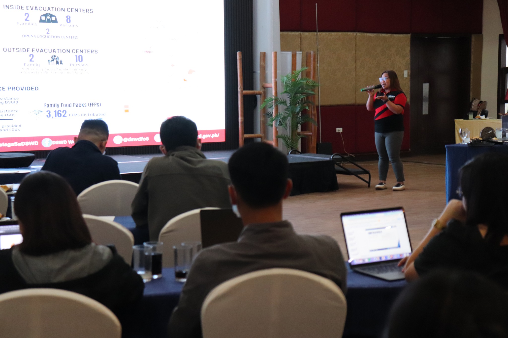
LOOK: The Disaster Response Management Bureau (DRMB), together with the DSWD Field Office VII through its Disaster Response Management Division (DRMD), conducted the Training on Hazard, Vulnerability, and Risk Assessment with the use of Geographic information System (GIS) and Remote Sensing (RS) Technologies in Pre and Post Disaster on 17-22 July 2023 in Cebu City.
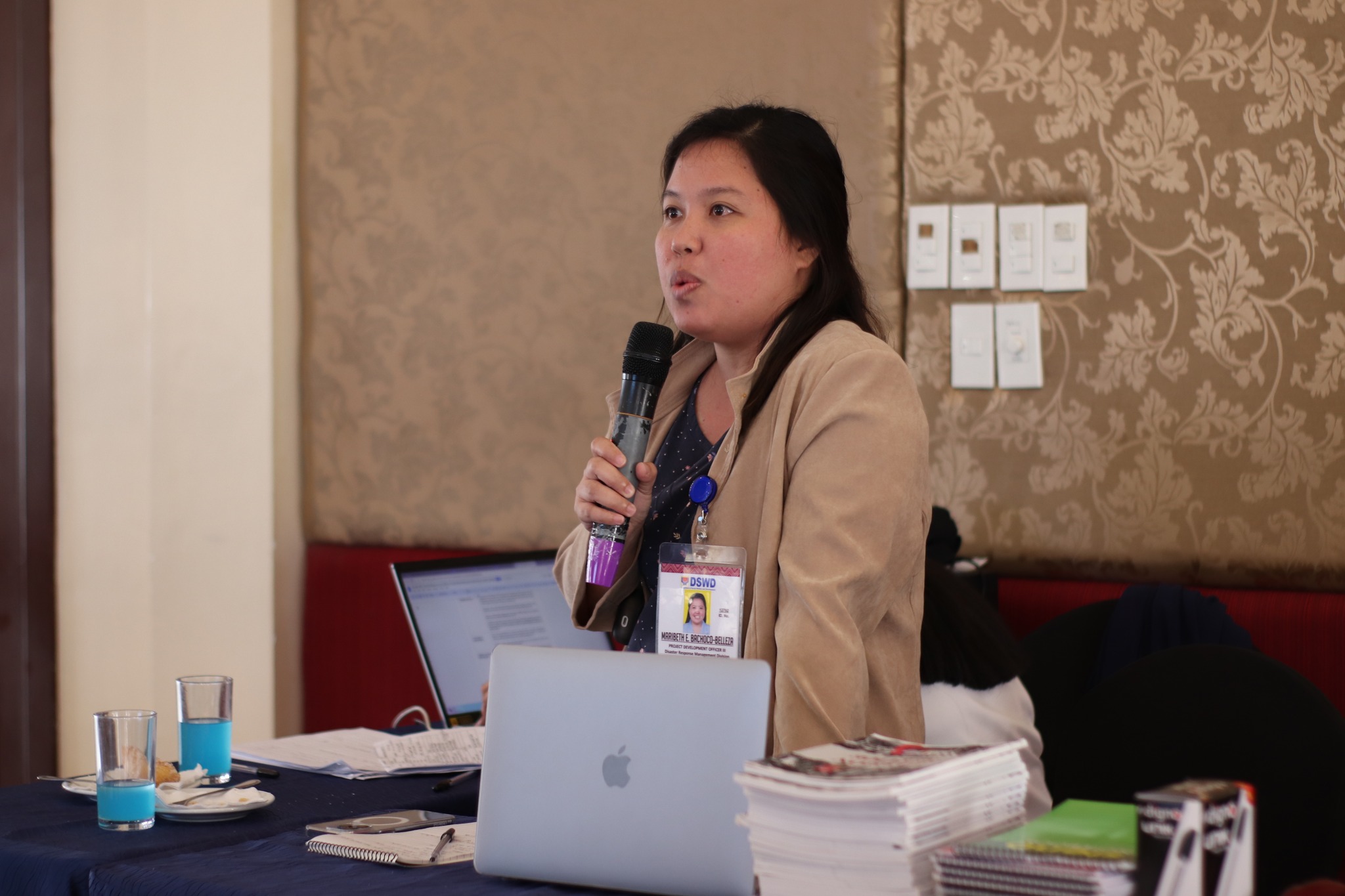
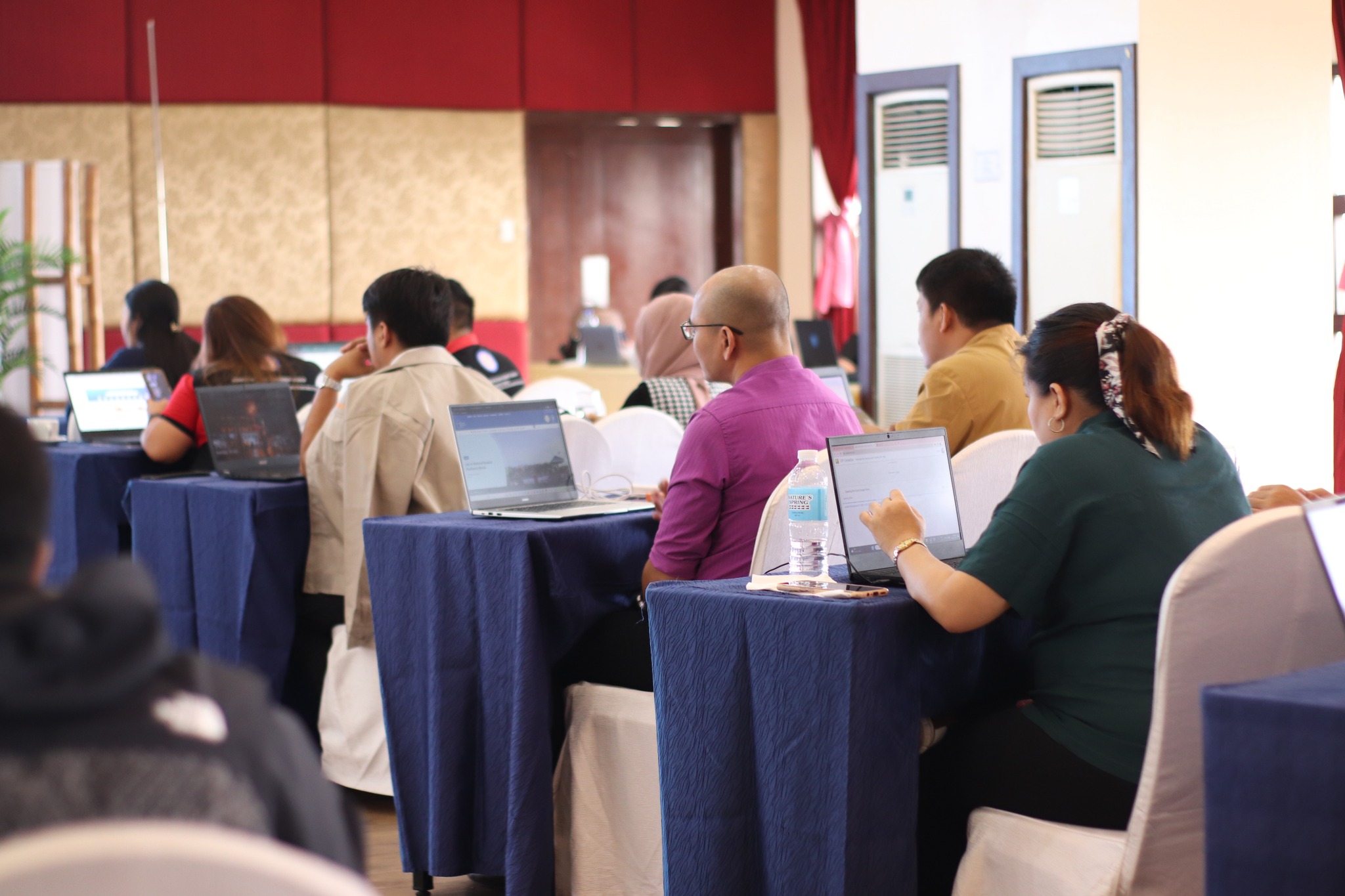
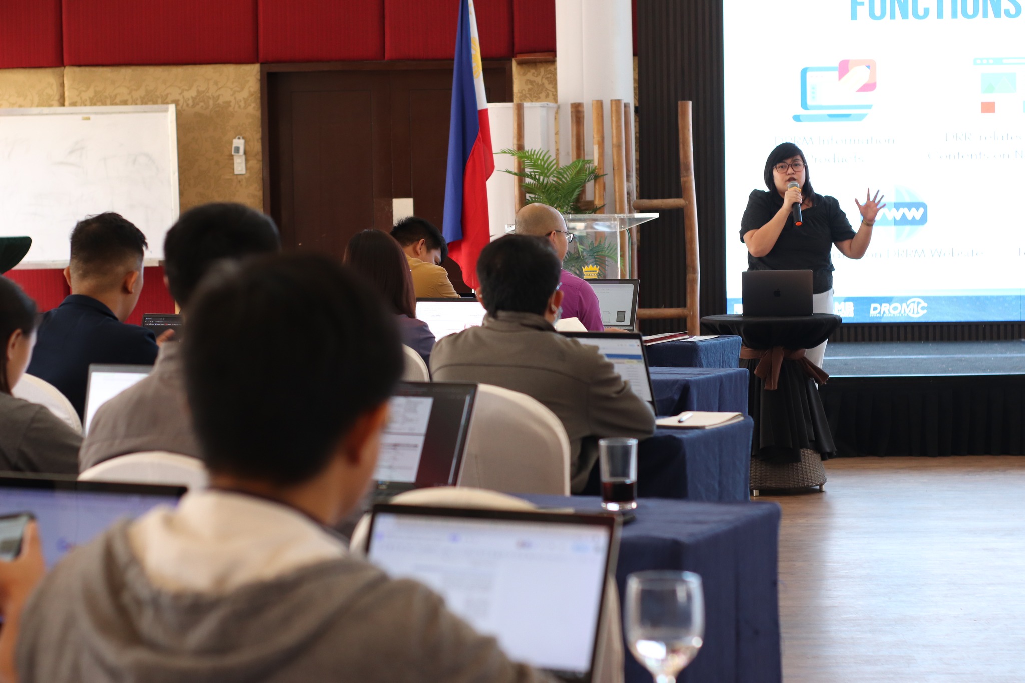
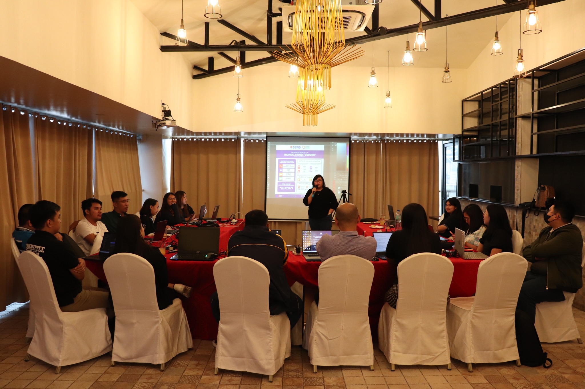
The training was attended by Geographic Information System (GIS) Specialists and Information Officers from the DSWD Field Offices as well as representatives from the different divisions of DRMB. The activity aims to establish a common understanding and basic knowledge on the importance and use of GIS in the collection, validation, integration, and analysis of spatial data obtained from the LGUs and other government agencies for Disaster Risk Reduction Management (DRRM) programs, projects, and activities
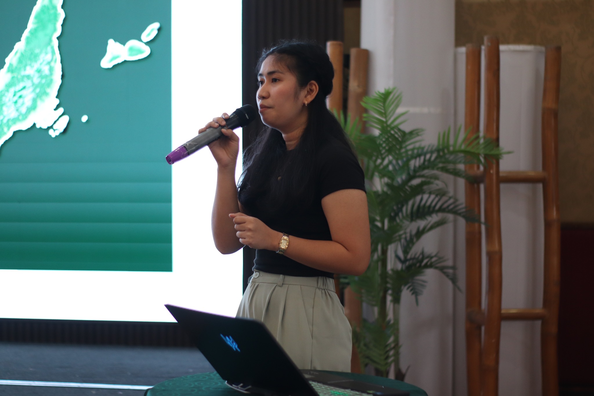
It also aims to enhance disaster visualization through information graphics (infographics) and generated maps. Analyzing and understanding these data will help be helpful in assessing and lessening the potential hazards’ potential impacts, and building community resilience. DSWD is fervent in furthering its efforts to provide Technical Assistance (TA) to its respective Field Offices and continuously enhance its processes with the aid of new knowledge and technological advancements to deliver timely, strategic, flexible, and inclusive disaster information management.
#BawatBuhayMahalagaSaDSWD