
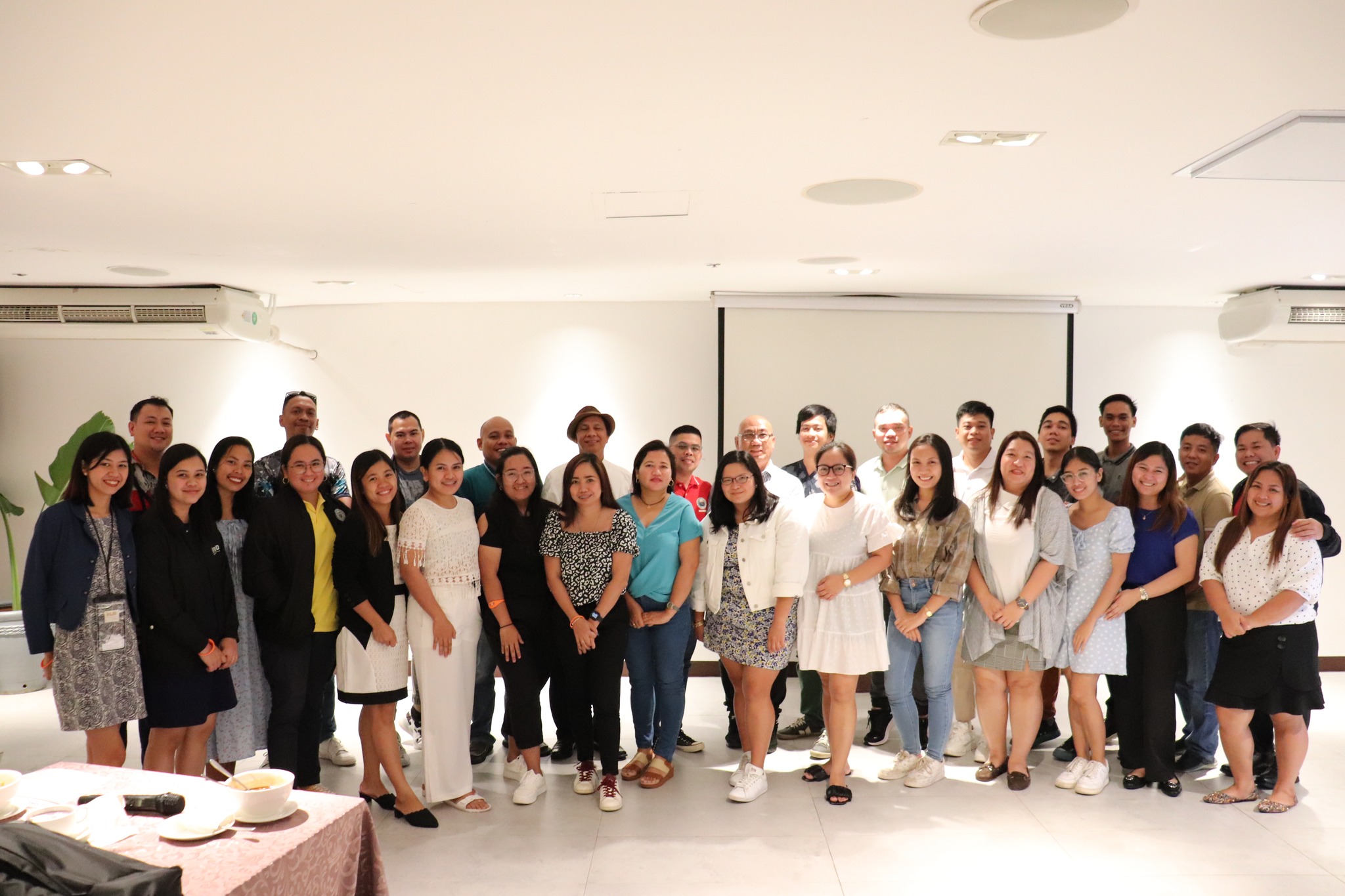
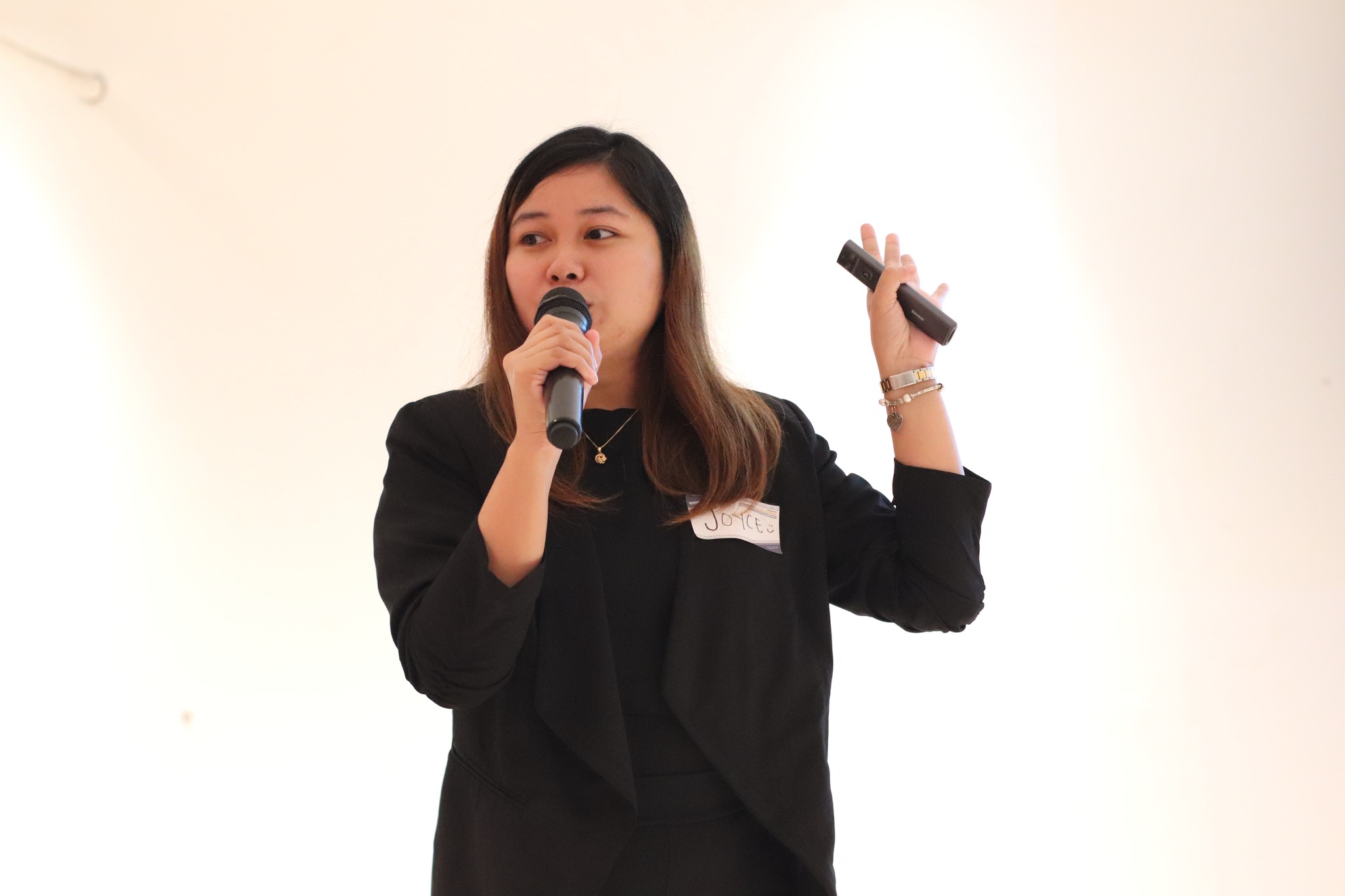
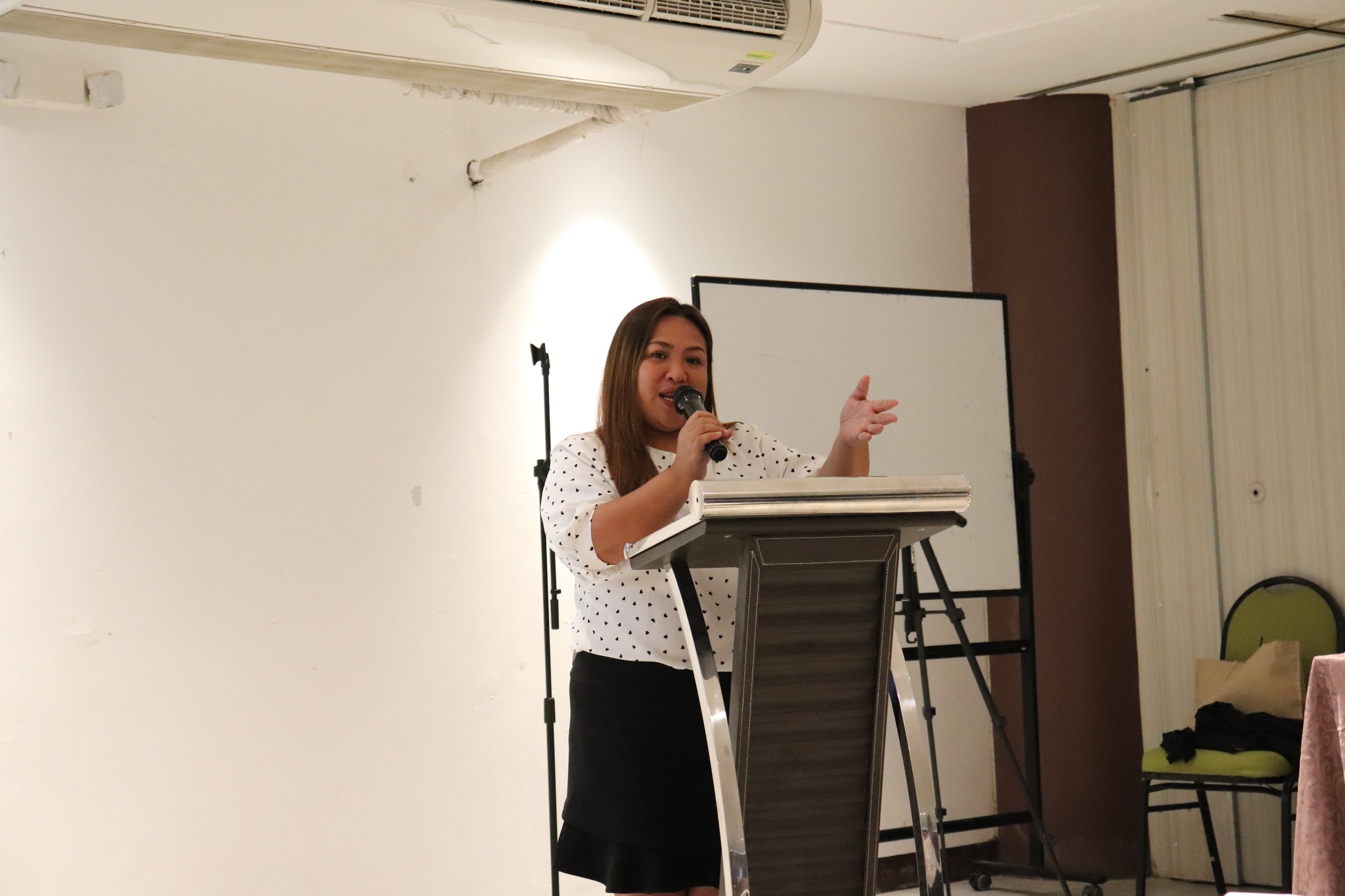
Malay, Aklan – The DSWD through the Disaster Response Management Bureau (DRMB) in coordination with the DSWD Field Office VI conducted a workshop on Community-Based Mapping for Strengthening Disaster Resiliency through Geographic Information System (GIS) at Hue Hotel, Malay, Aklan on 28 August – 02 September 2023.
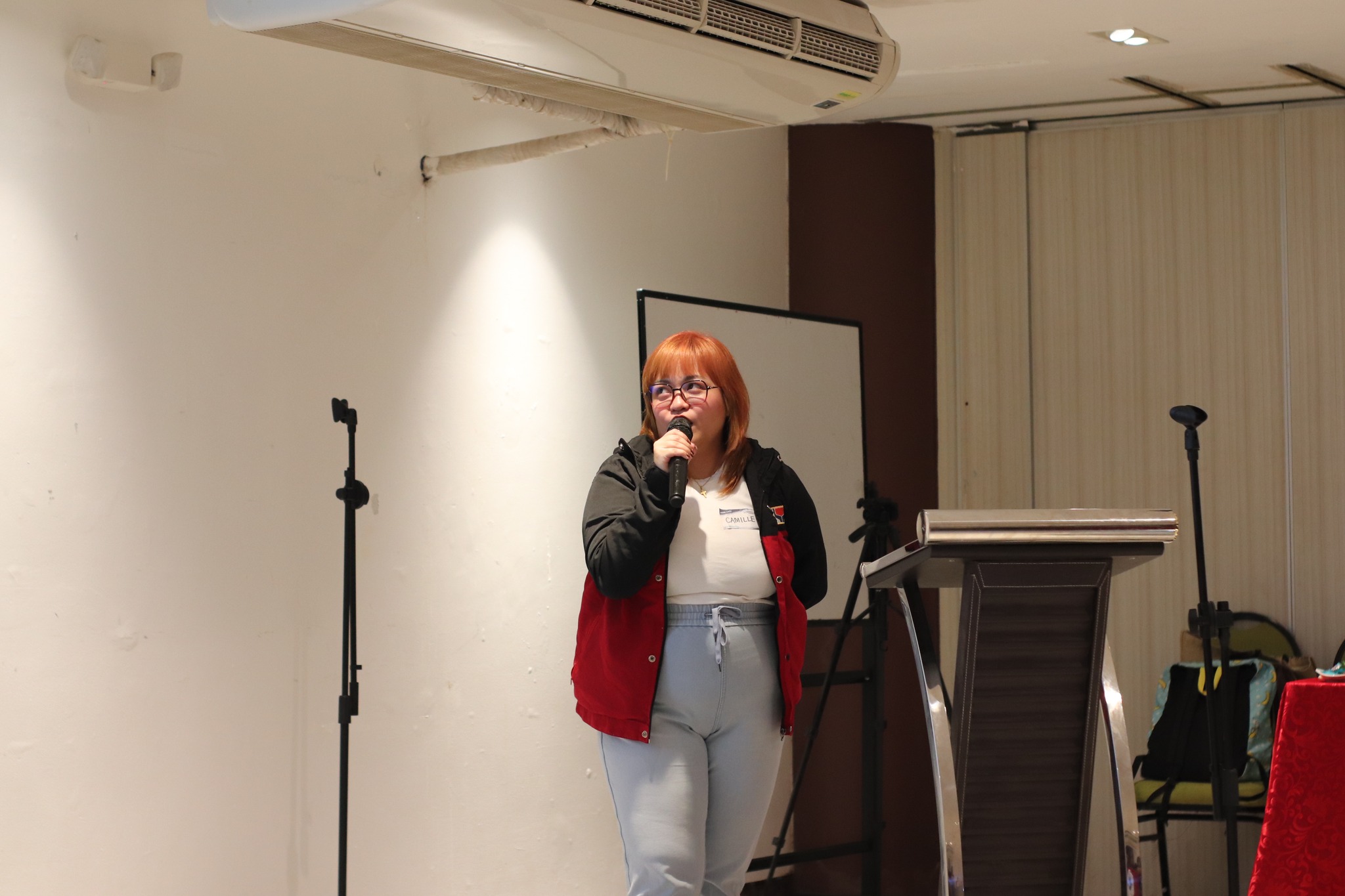
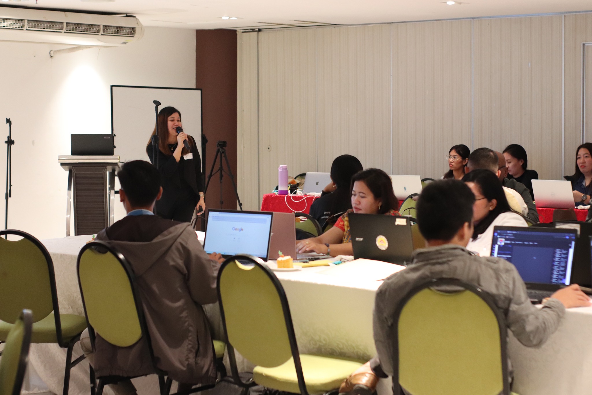
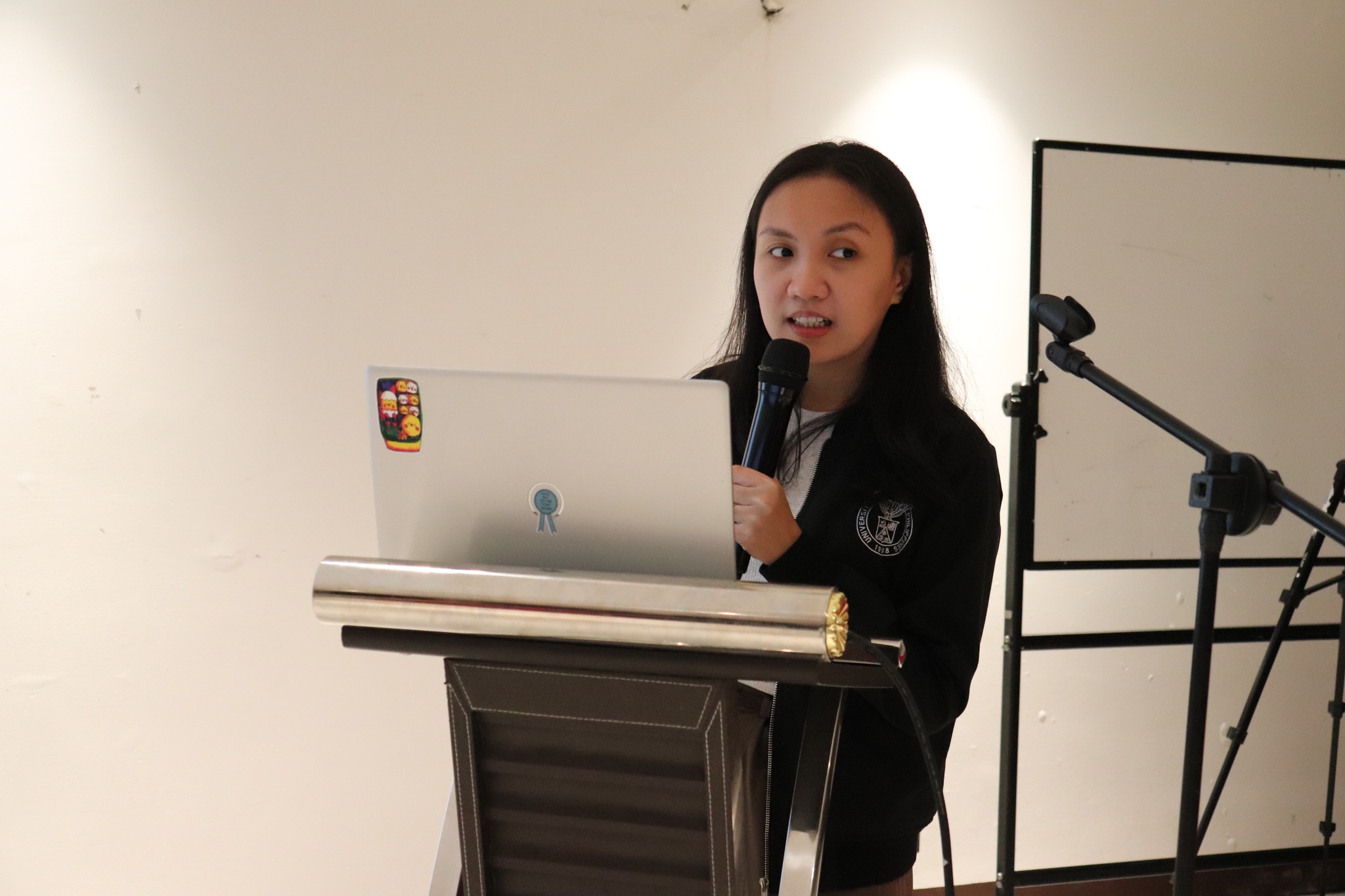
The training aimed to establish a common understanding and basic knowledge on the use and importance of GIS in the collection, validation, and integration of spatial data obtained by Local Government Unit (LGUs) and other government agencies for Disaster Risk Reduction Management (DRRM) response services.
It also aimed to come up with a community-based map of the location of critical lifeline facilities in the region including displacement areas, evacuation centers, recourse capacities and other disaster-related data to help LGUs and other national agencies in planning interventions during disaster events.
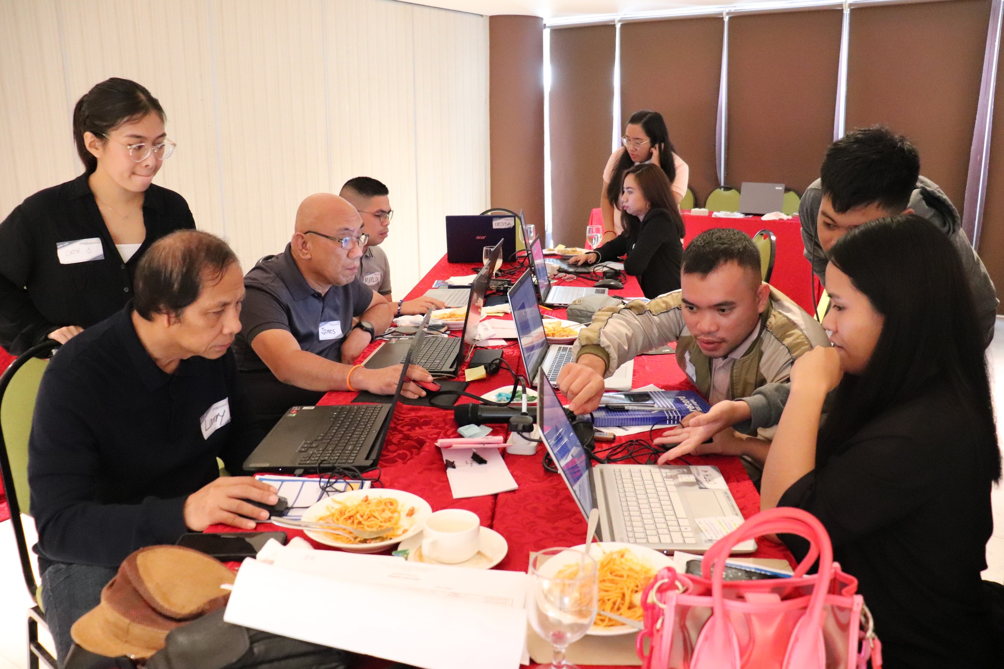
The workshop was attended by representatives from 15 Local Government Units (LGUs) of Guimaras, Iloilo, and Negros Occidental including the City Planning Development Offices (CDPOs), Municipal Disaster Risk Reduction and Management Offices (MDRRMOs), Municipal Planning and Development Offices (MPDOs), Provincial Environment and Natural Resources Offices (PENROs), as well as the City Disaster Risk Reduction and Management Offices (CDRRMOs) and Provincial Disaster Risk Reduction and Management Offices (PDRRMOs).
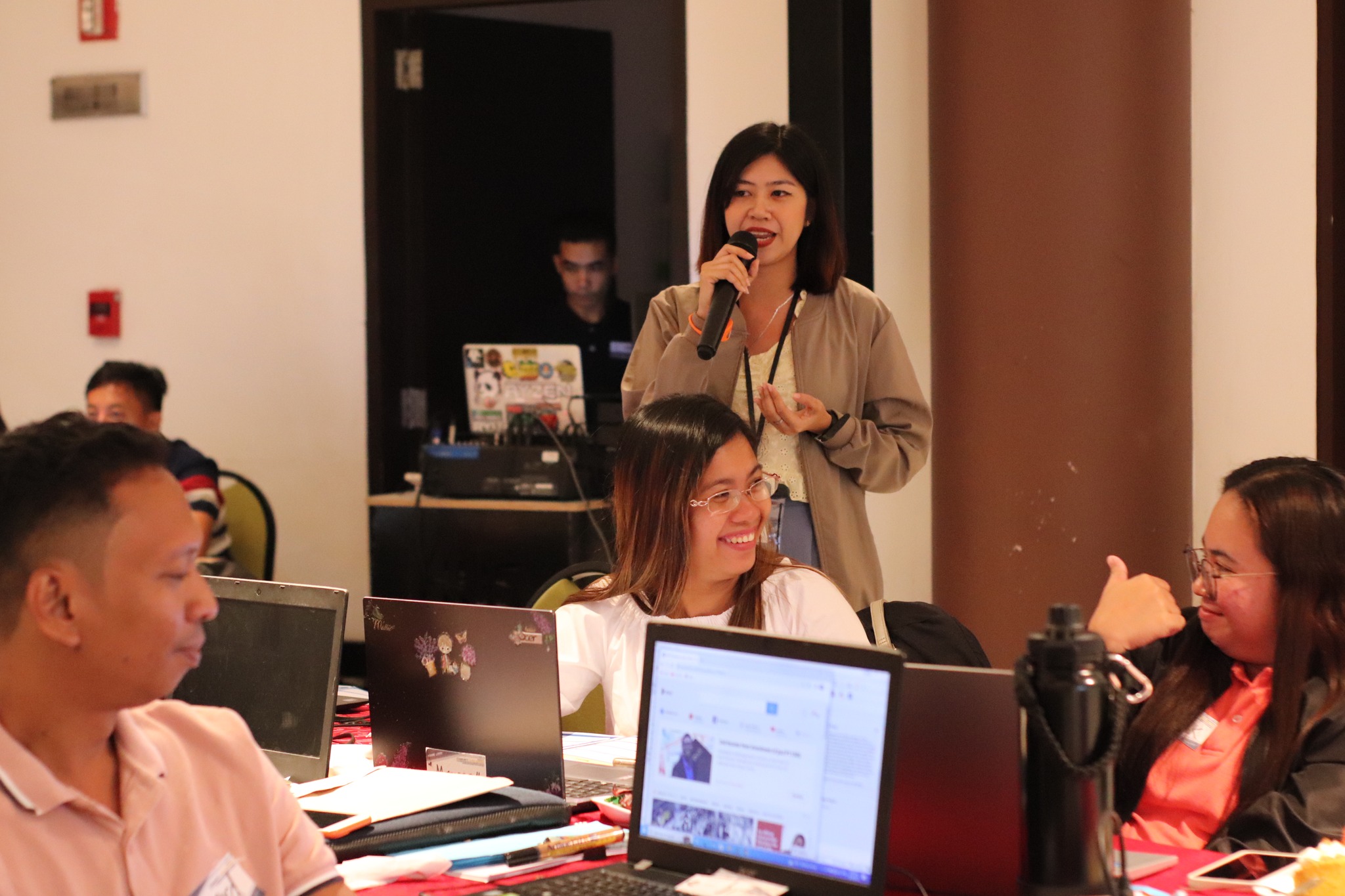
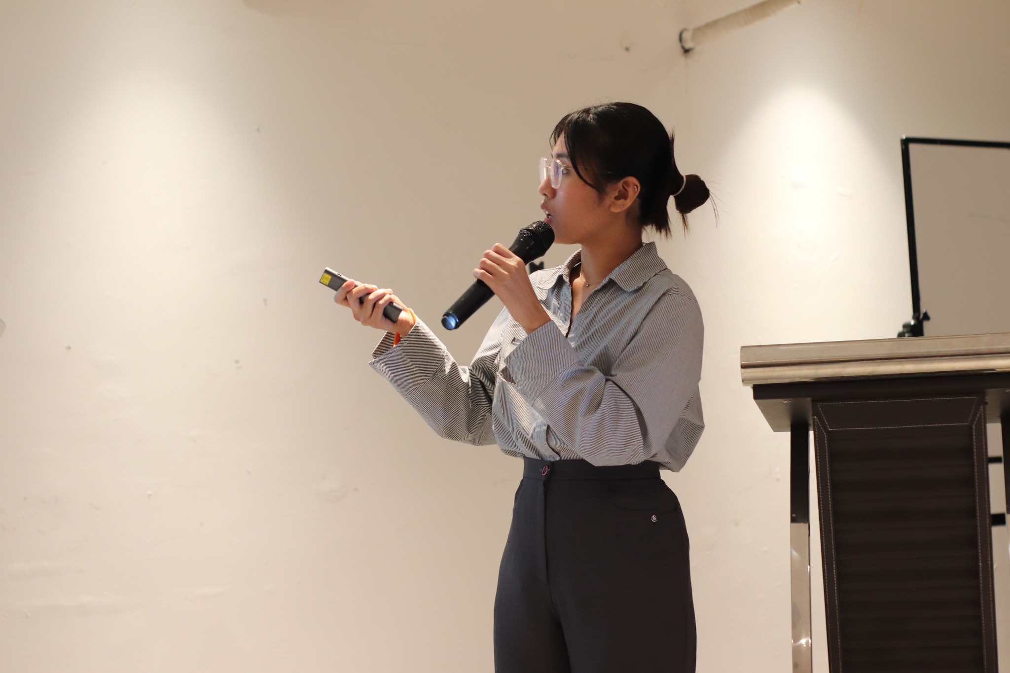
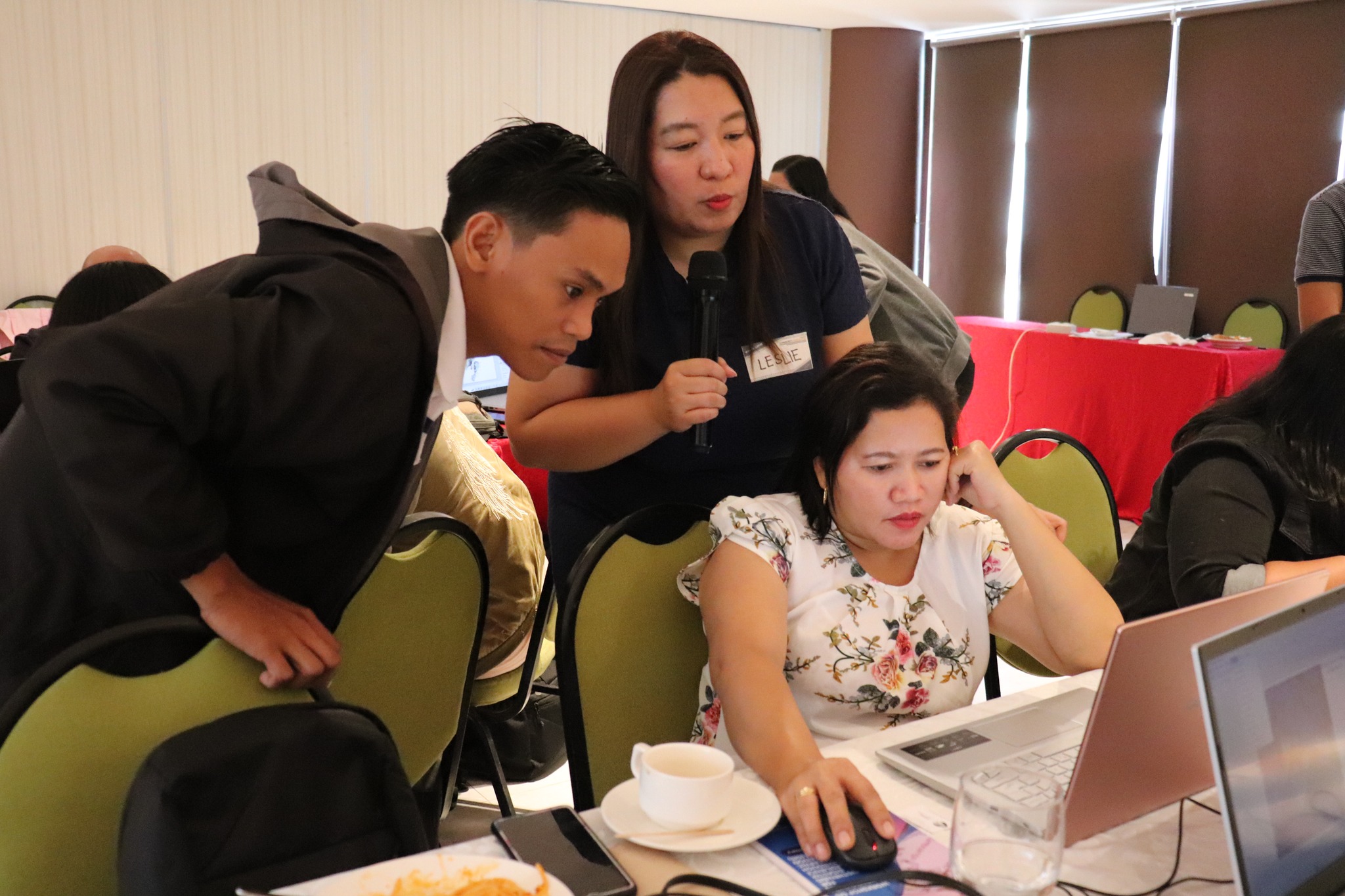
Throughout the duration of the activity, hands-on exercises were also conducted to familiarize the participants with the basic processes involving GIS. Consequently, a simulation exercise was organized on the last day as a culminating activity to apply their learnings and test their understanding of the concepts. The simulation exercise served to enrich the coordination and collaboration among the DSWD FO VI of DRMD, the LGUs, and other government agencies.
#BawatBuhayMahalagaSaDSWD
Philippine Standard Time:

